
3D SCAN PROJECTS 007


Categories
SurveyingGeo technical Services
- 2103 Condor Dr Lawrenceville GA 30044 Lawrenceville GA 30044
- (518) 291-7841
- Send Email
- https://3dscanprojects007.wixsite.com/website
Hours:
Mon - Fri: 9:00 am to 5:00 pm
Weekends: by appointment
Driving Directions:
Lawrenceville Atlanta
About Us
1. 3D Scan Measurements for Construction projects. Residential and Light Commercial. We create point cloud file for your project needs.
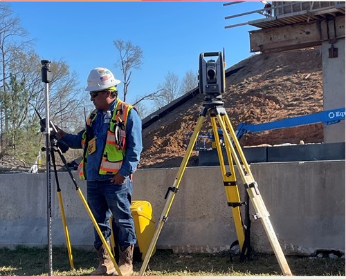
2. Surveyor Layout on Construction Projects. Offering Training to new Field Surveyors.
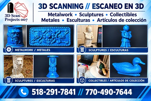
3. 3D Scan to digitalize your sculptures, arts, molds and others. Once this data is processed can be use on your 3D printing, on your records, etc.
4. 3D Laser Engraving in Wood, Metal.
Video Media
Images




Rep/Contact Info

View Personal Bio
Juan Verrilli
Manager
- Cell Phone: (770) 490-7644
- Send an Email
- 265 East Rock House Rd Lawrenceville GA 30045
